US military cuts climate scientists off from vital satellite sea-ice data [View all]
By Keith Cooper published 12 hours ago
A Japanese satellite is coming to the rescue, but researchers will miss out on months of crucial data.
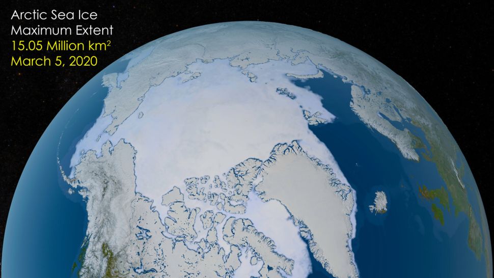
A photo of the Earth's north pole showing its sea ice
(Image credit: NASA's Scientific Visualization Studio.)
Climate scientists in the United States are to be cut off from satellite data measuring the amount of sea ice — a sensitive barometer of climate change — as the U.S. Department of Defense announces plans to cancel processing of the data for scientific research.
The changes are the latest attacks by the U.S. government on science and the funding of scientific research in an effort to slash the budget to enable tax cuts elsewhere. Already, these attacks have seen the Goddard Institute for Space Studies and the National Science Foundation evicted from their offices, references to climate science removed from websites, funding of data for hurricane forecasts cancelled, and dozens of NASA missions under threat and their project teams asked to produce close-down plans as the space agency's budget is slashed.
Now, scientists at the National Snow and Ice Data Center (NSIDC), based at the University of Colorado, Boulder, who have been using data from the Special Sensor Microwave Imager/Sounder (SSMIS) that is flown on a series of satellites that form the United States Air Force Defense Meteorological Satellite Program, have been told they will soon no longer have access to that data. SSMIS is a microwave radiometer that can scan Earth for ice coverage on land and sea. The Department of Defense uses this data for planning deployments of its own ships, but it has always made the processed data available to scientists, too — until now.
In an announcement on June 24, the Department of Defense declared that the Fleet Numerical Meteorology and Oceanography Center operated by the U.S. Navy would cease the real-time processing and stop supplying scientists with the sea-ice data, although NPR reports that, following an outcry at the suddenness of this decision, it has been put back to the end of July.
More:
https://www.space.com/astronomy/earth/us-military-cuts-climate-scientists-off-from-vital-satellite-sea-ice-data
 = new reply since forum marked as read